Geolocate

Lake Eacham topographic map

Click on the map to display elevation.

About this map
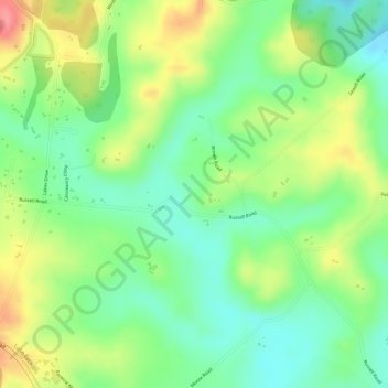
Name: Lake Eacham topographic map, elevation, terrain.

Location: Lake Eacham, Peeramon, Queensland, Australia (-17.31278 145.63528 -17.29278 145.65528)

Average elevation: 2,477 ft

Minimum elevation: 2,346 ft

Maximum elevation: 2,648 ft

Gear up for your next adventure:

🚪Portable Camp Chair - Foldable chair for comfort at camp
🪶Thermal Camp Blanket - Extra warmth for cold nights
🚑Emergency Bivvies - Heat-reflective sleeping bags for survival situations
🪶Survival Guide Book - Expert advice for emergency preparedness
🎒Waterproof Dry Bags - Keep your electronics and maps dry inside your pack

As an Amazon Associate, this site earns from qualifying purchases at no extra cost to you.