
Thank you for supporting this site ❤️
Make a donation
Make a donation
Gear up for your next adventure:
As an Amazon Associate, this site earns from qualifying purchases at no extra cost to you.
Kpanta topographic map
Click on the map to display elevation.
Thank you for supporting this site ❤️
Make a donation
Make a donation
Gear up for your next adventure:
As an Amazon Associate, this site earns from qualifying purchases at no extra cost to you.
About this map
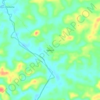
Name: Kpanta topographic map, elevation, terrain.
Location: Kpanta, Gounwolaila, Gbarpolu County, Liberia (7.15995 -10.11768 7.19995 -10.07768)
Average elevation: 633 ft
Minimum elevation: 574 ft
Maximum elevation: 745 ft
Thank you for supporting this site ❤️
Make a donation
Make a donation
Gear up for your next adventure:
As an Amazon Associate, this site earns from qualifying purchases at no extra cost to you.