Geolocate

Summertown topographic map

Click on the map to display elevation.

About this map

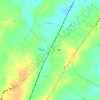
Name: Summertown topographic map, elevation, terrain.

Location: Summertown, Emanuel County, Georgia, United States (32.73856 -82.28502 32.75307 -82.26738)

Average elevation: 266 ft

Minimum elevation: 217 ft

Maximum elevation: 318 ft

Emanuel County trails, hiking, mountain biking, running and outdoor activities

Other topographic maps

Click on a map to view its topography, its elevation and its terrain.

Oak Park

United States > Georgia > Emanuel County

Average elevation: 213 ft

Swainsboro

United States > Georgia > Emanuel County > Swainsboro

Average elevation: 289 ft

Gear up for your next adventure:

🪶LED Camping Lantern - Bright lantern for camp lighting
🌐World Map Poster - Decorative world maps with topographic info
💧Water Purification System - Clean water on the trail with reliable purifiers
🩹Survival Bandages - High‑quality bandages for emergencies
📚Navigation Handbooks - Master the art of reading topographic maps and using a compass

As an Amazon Associate, this site earns from qualifying purchases at no extra cost to you.