
Thank you for supporting this site ❤️
Make a donation
Make a donation
Gear up for your next adventure:
As an Amazon Associate, this site earns from qualifying purchases at no extra cost to you.
Voort topographic map
Click on the map to display elevation.
Thank you for supporting this site ❤️
Make a donation
Make a donation
Gear up for your next adventure:
As an Amazon Associate, this site earns from qualifying purchases at no extra cost to you.
About this map
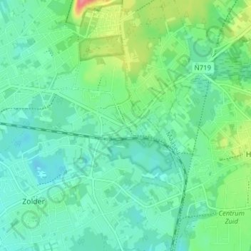
Name: Voort topographic map, elevation, terrain.
Location: Voort, Zolder, Heusden-Zolder, Hasselt, Limburg, 3550, België (51.01574 5.31691 51.05574 5.35691)
Average elevation: 157 ft
Minimum elevation: 95 ft
Maximum elevation: 341 ft
Thank you for supporting this site ❤️
Make a donation
Make a donation
Gear up for your next adventure:
As an Amazon Associate, this site earns from qualifying purchases at no extra cost to you.