Geolocate

Mount Erie topographic map

Click on the map to display elevation.

About this map

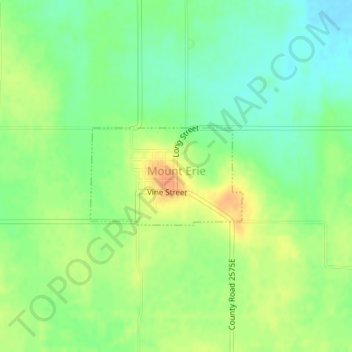
Name: Mount Erie topographic map, elevation, terrain.

Location: Mount Erie, Wayne County, Illinois, United States (38.51088 -88.23960 38.51835 -88.22468)

Average elevation: 456 ft

Minimum elevation: 400 ft

Maximum elevation: 518 ft

Wayne County trails, hiking, mountain biking, running and outdoor activities

Gear up for your next adventure:

🕶️Glacier Sunglasses - Side shields to protect eyes from high-altitude snow glare
Backpacking Tents - Weight-optimized shelters for multi-day topographic surveys
📖Nature Tracking Books - Learn to track wildlife and terrain
🍳Camping Cook Set - Complete cookware for outdoor meals
🧣Merino Neck Gaiters - Multi-functional headwear for wind and sun protection

As an Amazon Associate, this site earns from qualifying purchases at no extra cost to you.