Geolocate

Campo topographic map

Click on the map to display elevation.

About this map

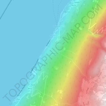
Name: Campo topographic map, elevation, terrain.

Location: Campo, Marniga, Brenzone sul Garda, Verona, Veneto, Italy (45.67707 10.74378 45.71707 10.78378)

Average elevation: 1,253 ft

Minimum elevation: 200 ft

Maximum elevation: 3,957 ft

Gear up for your next adventure:

🦺Reflective Outdoor Gear - Safety gear for low‑light conditions
🏥Hiking First Aid Kits - Comprehensive medical kits for remote trail injuries
🦶Hiking Gaiters - Keep debris and water out of your boots
🥘Titanium Cookware - Durable, featherlight pots and pans for backpacking
🌐World Map Poster - Decorative world maps with topographic info

As an Amazon Associate, this site earns from qualifying purchases at no extra cost to you.