Geolocate

Satara topographic map

Click on the map to display elevation.

About this map

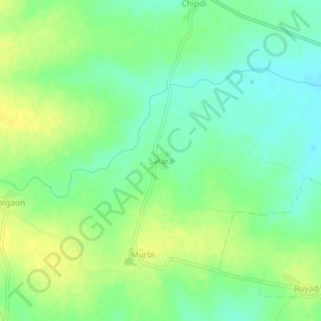
Name: Satara topographic map, elevation, terrain.

Location: Satara, Kuhi Taluka, Nagpur, Maharashtra, India (20.95270 79.38270 20.99270 79.42270)

Average elevation: 896 ft

Minimum elevation: 860 ft

Maximum elevation: 932 ft

Other topographic maps

Click on a map to view its topography, its elevation and its terrain.

Kuhi

India > Maharashtra > Kuhi Taluka

Average elevation: 892 ft

Kuhi

India > Maharashtra > Kuhi Taluka

Average elevation: 892 ft

Gear up for your next adventure:

🗺️Topographic Maps - Detailed topo maps for hiking, exploring and outdoor navigation
📡GPS Antenna Upgrade - Enhance GPS reception in remote terrain
🪓Survival Multi‑Tool - Versatile tool for camp and trail tasks
🔊Portable Camp Speaker - Music and alerts at camp
🪶Paracord Bracelet - Survival bracelet with built‑in tools

As an Amazon Associate, this site earns from qualifying purchases at no extra cost to you.