
Lac Jaune topographic map
Interactive map
Click on the map to display elevation.
About this map
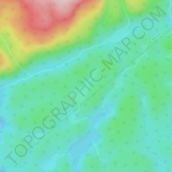
Name: Lac Jaune topographic map, elevation, terrain.
Average elevation: 492 ft
Minimum elevation: 256 ft
Maximum elevation: 1,125 ft
Other topographic maps
Click on a map to view its topography, its elevation and its terrain.
Lac Serpent
Canada > Quebec > Sept-Rivières > Lac-Walker
Lac Serpent, Lac-Walker, Sept-Rivières, Côte-Nord, Quebec, Canada
Average elevation: 1,562 ft
Lac Louisa
Canada > Quebec > Sept-Rivières > Lac-Walker
Lac Louisa, Lac-Walker, Sept-Rivières, Côte-Nord, Quebec, Canada
Average elevation: 659 ft