
Dayton topographic map
Interactive map
Click on the map to display elevation.
About this map
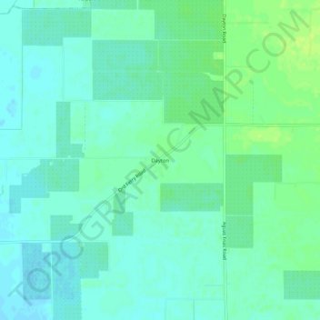
Name: Dayton topographic map, elevation, terrain.
Location: Dayton, Durham, Butte County, California, United States (39.62850 -121.89220 39.66850 -121.85220)
Average elevation: 138 ft
Minimum elevation: 121 ft
Maximum elevation: 164 ft
Other topographic maps
Click on a map to view its topography, its elevation and its terrain.
Durham
United States > California > Butte County > Durham
Durham, Butte County, California, United States
Average elevation: 167 ft