Geolocate

Sarud topographic map

Click on the map to display elevation.

About this map

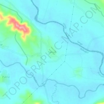
Name: Sarud topographic map, elevation, terrain.

Location: Sarud, Shahuwadi, Kolhapur, Maharashtra, 416213, India (16.89093 74.02513 16.93093 74.06513)

Average elevation: 1,854 ft

Minimum elevation: 1,801 ft

Maximum elevation: 2,218 ft

Gear up for your next adventure:

🔥Camping Stove - Portable stove for camping and backcountry cooking
🪵Folding Camp Saw - Compact saw for wood and campsite work
🧭Compass with Lanyard - Easy‑carry compass for navigation
🚪Portable Camp Chair - Foldable chair for comfort at camp
🔦Compact Flashlight - Reliable flashlight for emergencies

As an Amazon Associate, this site earns from qualifying purchases at no extra cost to you.