
Thank you for supporting this site ❤️
Make a donation
Make a donation
Gear up for your next adventure:
As an Amazon Associate, this site earns from qualifying purchases at no extra cost to you.
Lake Lingge topographic map
Click on the map to display elevation.
Thank you for supporting this site ❤️
Make a donation
Make a donation
Gear up for your next adventure:
As an Amazon Associate, this site earns from qualifying purchases at no extra cost to you.
About this map
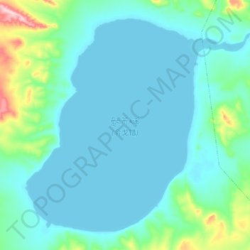
Name: Lake Lingge topographic map, elevation, terrain.
Location: Lake Lingge, Garco, Shuanghu County, Nagqu City, Tibet, China (33.78975 88.52525 33.91200 88.69775)
Average elevation: 16,719 ft
Minimum elevation: 16,598 ft
Maximum elevation: 17,470 ft
Thank you for supporting this site ❤️
Make a donation
Make a donation
Gear up for your next adventure:
As an Amazon Associate, this site earns from qualifying purchases at no extra cost to you.