
Upper Lake topographic map
Click on the map to display elevation.
Upper Lake
Upper Lake is a census-designated place (CDP) in Lake County, California, United States. Upper Lake is located 8 miles (13 km) north of Lakeport, at an elevation of 1,345 feet (410 m). The population was 1,052 at the 2010 census, up from 989 at the 2000 census. The Habematolel Pomo of Upper Lake are headquartered here.
About this map
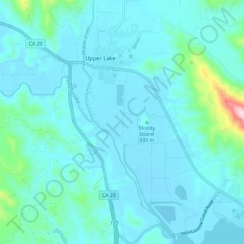
Name: Upper Lake topographic map, elevation, terrain.
Location: Upper Lake, Lake County, California, United States (39.11627 -122.92087 39.17969 -122.87066)
Average elevation: 1,444 ft
Minimum elevation: 1,309 ft
Maximum elevation: 2,566 ft
Lake County trails, hiking, mountain biking, running and outdoor activities