Geolocate

Whigham topographic map

Click on the map to display elevation.

About this map

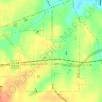
Name: Whigham topographic map, elevation, terrain.

Location: Whigham, Grady County, Georgia, United States (30.87616 -84.33886 30.89763 -84.31363)

Average elevation: 279 ft

Minimum elevation: 194 ft

Maximum elevation: 344 ft

Grady County trails, hiking, mountain biking, running and outdoor activities

Other topographic maps

Click on a map to view its topography, its elevation and its terrain.

Pine Park

United States > Georgia > Grady County

Average elevation: 203 ft

Gear up for your next adventure:

🏔️Mountain Trail Maps - High‑detail maps for popular peaks
📚USA Hiking Guide Books - Top trail guides and map books
📖Nature Tracking Books - Learn to track wildlife and terrain
🥩Freeze-Dried Meals - Nutritious and lightweight food for remote expeditions
📷Action Cameras - Rugged cameras to document your journeys across rugged terrain

As an Amazon Associate, this site earns from qualifying purchases at no extra cost to you.