
Pine Park topographic map
Interactive map
Click on the map to display elevation.
About this map
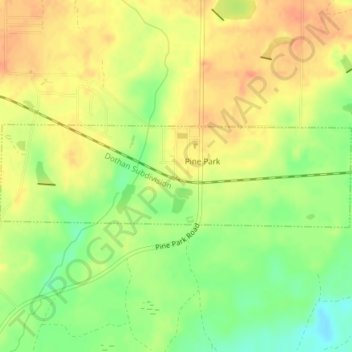
Name: Pine Park topographic map, elevation, terrain.
Location: Pine Park, Grady County, Georgia, United States (30.84524 -84.12352 30.85470 -84.08591)
Average elevation: 203 ft
Minimum elevation: 118 ft
Maximum elevation: 262 ft
Other topographic maps
Click on a map to view its topography, its elevation and its terrain.
Whigham
United States > Georgia > Grady County
Whigham, Grady County, Georgia, United States
Average elevation: 279 ft
Cairo
United States > Georgia > Grady County
Cairo, Grady County, Georgia, United States
Average elevation: 249 ft