
Thank you for supporting this site ❤️
Make a donation
Make a donation
Gear up for your next adventure:
As an Amazon Associate, this site earns from qualifying purchases at no extra cost to you.
Zhenjiangying topographic map
Click on the map to display elevation.
Thank you for supporting this site ❤️
Make a donation
Make a donation
Gear up for your next adventure:
As an Amazon Associate, this site earns from qualifying purchases at no extra cost to you.
About this map
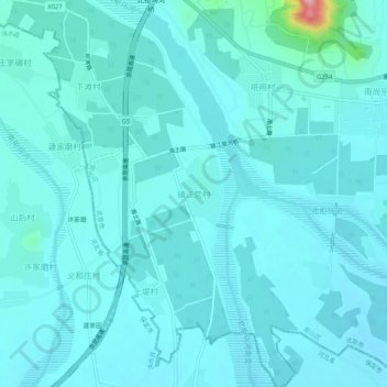
Name: Zhenjiangying topographic map, elevation, terrain.
Location: Zhenjiangying, Fangshan District, Beijing, China (39.50830 115.73108 39.54830 115.77108)
Average elevation: 276 ft
Minimum elevation: 217 ft
Maximum elevation: 823 ft
Thank you for supporting this site ❤️
Make a donation
Make a donation
Gear up for your next adventure:
As an Amazon Associate, this site earns from qualifying purchases at no extra cost to you.