
Cuatro Esquinas topographic map
Interactive map
Click on the map to display elevation.
About this map
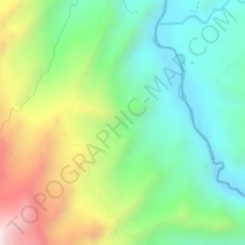
Name: Cuatro Esquinas topographic map, elevation, terrain.
Location: Cuatro Esquinas, Miraflores, Lengupá, Boyacá, Colombia (5.16649 -73.11863 5.18649 -73.09863)
Average elevation: 3,904 ft
Minimum elevation: 3,146 ft
Maximum elevation: 5,125 ft