Geolocate

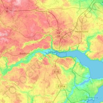
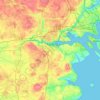
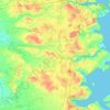
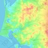
Vejle topographic map

Click on the map to display elevation.

Vejle

In a country where the highest natural elevation is only about 170 m (558 ft) above sea level, Vejle is known for the forested hills that rise to the north and south of the town and fjord.

Wikipedia (CC-BY-SA 3.0)

About this map

Name: Vejle topographic map, elevation, terrain.

Location: Vejle, Vejle Municipality, Region of Southern Denmark, 7100, Denmark (55.54793 9.37294 55.86793 9.69294)

Average elevation: 200 ft

Minimum elevation: -10 ft

Maximum elevation: 453 ft

Other topographic maps

Click on a map to view its topography, its elevation and its terrain.
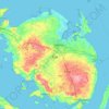
Funen

Denmark > Region of Southern Denmark

Average elevation: 62 ft

Funen

Denmark > Region of Southern Denmark

Average elevation: 62 ft

Funen

Denmark > Region of Southern Denmark

Average elevation: 62 ft

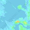
Fanø

Denmark > Region of Southern Denmark > Sønderho

Average elevation: 3 ft

Rømø

Denmark > Region of Southern Denmark

Average elevation: 0 ft

Funen

Denmark > Region of Southern Denmark

Average elevation: 62 ft

Skarø

Denmark > Region of Southern Denmark

Average elevation: 0 ft

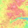
Guldbjerg

Denmark > Region of Southern Denmark

Average elevation: 75 ft

Egholm

Denmark > Region of Southern Denmark

Average elevation: 0 ft

Funen

Denmark > Region of Southern Denmark

Average elevation: 62 ft

Ærø

Denmark > Region of Southern Denmark

Average elevation: 10 ft

Funen

Denmark > Region of Southern Denmark

Average elevation: 62 ft

Gear up for your next adventure:

📻Weather Alert Radios - Stay informed of storm risks while off-the-grid
☕Camping Coffee Makers - Enjoy premium coffee at the summit or campsite
📚Navigation Handbooks - Master the art of reading topographic maps and using a compass
🌎3D Topographic Globes - Raised relief globes for a tactile understanding of geography
🔌USB Car Charger - Car charger for on‑the‑go power needs

As an Amazon Associate, this site earns from qualifying purchases at no extra cost to you.