Geolocate

Sariya topographic map

Click on the map to display elevation.

About this map

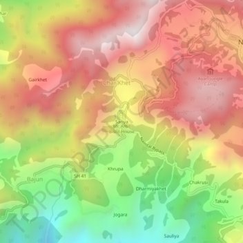
Name: Sariya topographic map, elevation, terrain.

Location: Sariya, Char Khet, Nainital, Uttarakhand, 263002, India (29.35869 79.41123 29.39869 79.45123)

Average elevation: 5,965 ft

Minimum elevation: 3,698 ft

Maximum elevation: 7,818 ft

Gear up for your next adventure:

📱Heavy-Duty Phone Cases - Drop-proof and waterproof protection for outdoor navigation
🌡️Portable Weather Meter - Track weather conditions on the trail
🧤Hiking Gloves - Protective gloves for rugged trails
🛏️Cold Weather Sleeping Bag - Warm sleeping bag for cold conditions
🌄Hiking Binoculars - Compact binoculars for scenic views and trail spotting

As an Amazon Associate, this site earns from qualifying purchases at no extra cost to you.