
古县 topographic map
Interactive map
Click on the map to display elevation.
About this map
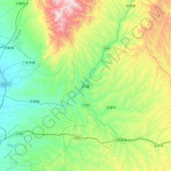
Name: 古县 topographic map, elevation, terrain.
Location: 古县, 临汾市, 山西省, 中国 (36.10305 111.75493 36.42305 112.07493)
Average elevation: 3,005 ft
Minimum elevation: 1,529 ft
Maximum elevation: 6,601 ft
位于东经111度55分,北纬36度16分,平均海拔663米。
Other topographic maps
Click on a map to view its topography, its elevation and its terrain.