
Southport topographic map
Interactive map
Click on the map to display elevation.
About this map
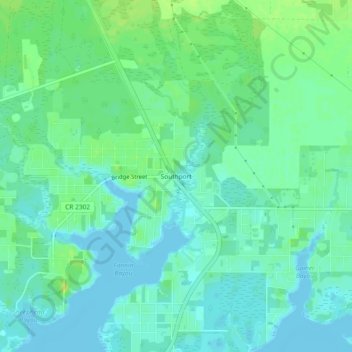
Name: Southport topographic map, elevation, terrain.
Location: Southport, Bay County, Florida, United States (30.26937 -85.66048 30.30937 -85.62048)
Average elevation: 20 ft
Minimum elevation: -3 ft
Maximum elevation: 49 ft
Bay County trails, hiking, mountain biking, running and outdoor activities
Other topographic maps
Click on a map to view its topography, its elevation and its terrain.
Lower Grand Lagoon
United States > Florida > Bay County > Upper Grand Lagoon > Lower Grand Lagoon
Average elevation: 7 ft