
Thank you for supporting this site ❤️
Make a donation
Make a donation
Gear up for your next adventure:
As an Amazon Associate, this site earns from qualifying purchases at no extra cost to you.
Erdbach topographic map
Click on the map to display elevation.
Thank you for supporting this site ❤️
Make a donation
Make a donation
Gear up for your next adventure:
As an Amazon Associate, this site earns from qualifying purchases at no extra cost to you.
About this map
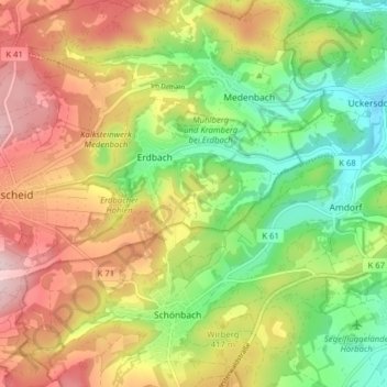
Name: Erdbach topographic map, elevation, terrain.
Location: Erdbach, Breitscheid, Lahn-Dill-Kreis, Hessen, Deutschland (50.67263 8.17026 50.69752 8.24914)
Average elevation: 1,273 ft
Minimum elevation: 801 ft
Maximum elevation: 1,827 ft
Thank you for supporting this site ❤️
Make a donation
Make a donation
Gear up for your next adventure:
As an Amazon Associate, this site earns from qualifying purchases at no extra cost to you.