
Thank you for supporting this site ❤️
Make a donation
Make a donation
Gear up for your next adventure:
As an Amazon Associate, this site earns from qualifying purchases at no extra cost to you.
Nkozi topographic map
Click on the map to display elevation.
Thank you for supporting this site ❤️
Make a donation
Make a donation
Gear up for your next adventure:
As an Amazon Associate, this site earns from qualifying purchases at no extra cost to you.
About this map
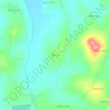
Name: Nkozi topographic map, elevation, terrain.
Location: Nkozi, Nakaseke, Central Region, Uganda (0.69695 32.22828 0.73695 32.26828)
Average elevation: 3,635 ft
Minimum elevation: 3,537 ft
Maximum elevation: 3,911 ft
Thank you for supporting this site ❤️
Make a donation
Make a donation
Gear up for your next adventure:
As an Amazon Associate, this site earns from qualifying purchases at no extra cost to you.