
饮马湖 topographic map
Interactive map
Click on the map to display elevation.
About this map
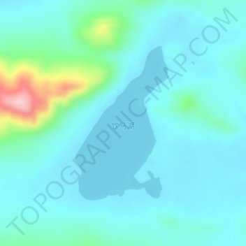
Name: 饮马湖 topographic map, elevation, terrain.
Location: 饮马湖, 嘎措乡, 双湖县, 那曲市, 西藏自治区, 中国 (34.86342 88.14621 34.88039 88.15878)
Average elevation: 16,358 ft
Minimum elevation: 16,270 ft
Maximum elevation: 16,841 ft
Other topographic maps
Click on a map to view its topography, its elevation and its terrain.