Geolocate

Ica topographic map

Click on the map to display elevation.

About this map

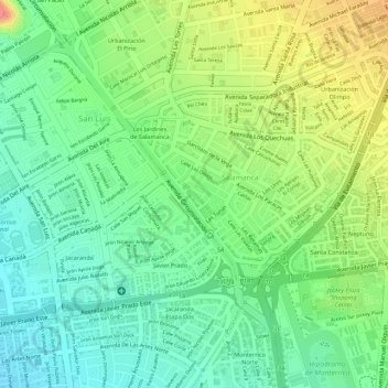
Name: Ica topographic map, elevation, terrain.

Location: Ica, Salamanca, Ate, Lima, Lima Metropolitana, Lima, Perú (-12.07930 -76.98732 -12.07857 -76.98641)

Average elevation: 646 ft

Minimum elevation: 535 ft

Maximum elevation: 810 ft

Other topographic maps

Click on a map to view its topography, its elevation and its terrain.

Santa Anita

Perú > Lima > Lima Metropolitana

Average elevation: 433 ft

Circuito El Prado

Perú > Lima > Lima Metropolitana

Average elevation: 1,191 ft

Chocas Alto

Perú > Lima > Lima Metropolitana

Average elevation: 2,093 ft

Manchay Alto

Perú > Lima > Lima Metropolitana > Nuevo Progreso

Average elevation: 719 ft

La Unión

Perú > Lima > Lima Metropolitana

Average elevation: 184 ft

Parque de la Reserva

Perú > Lima > Lima Metropolitana

Average elevation: 440 ft

El Volante II

Perú > Lima > Lima Metropolitana

Average elevation: 722 ft

Pachacámac

Perú > Lima > Lima Metropolitana

El distrito de Pachacámac está ubicado en Lima Sur. Cuenta con una superficie de 160.23 km² y su altitud media es de 73 m s.n.m.

Average elevation: 2,290 ft

Lima

Perú > Lima > Lima Metropolitana

Average elevation: 4,049 ft

Manchay Bajo

Perú > Lima > Lima Metropolitana

Average elevation: 787 ft

Rumi Wasi

Perú > Lima > Lima Metropolitana

Average elevation: 899 ft

Gear up for your next adventure:

🚁Photography Drones - Capture stunning aerial views of landforms and topography
Backpacking Tents - Weight-optimized shelters for multi-day topographic surveys
🌡️Handheld Weather Meters - Measure wind, temp, and pressure for safe mountain travel
📌Outdoor GPS Map App - Apps and devices for digital topographic navigation
🪶Paracord Bracelet - Survival bracelet with built‑in tools

As an Amazon Associate, this site earns from qualifying purchases at no extra cost to you.