
Mount Union topographic map
Interactive map
Click on the map to display elevation.
About this map
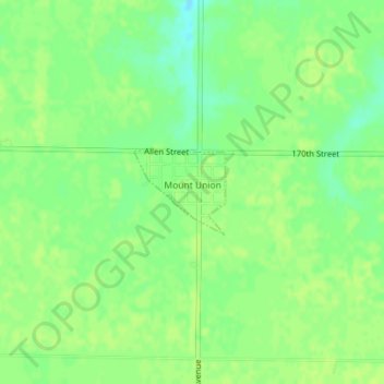
Name: Mount Union topographic map, elevation, terrain.
Location: Mount Union, Henry County, Iowa, United States (41.05392 -91.39611 41.05983 -91.38754)
Average elevation: 735 ft
Minimum elevation: 705 ft
Maximum elevation: 748 ft
Other topographic maps
Click on a map to view its topography, its elevation and its terrain.
New London
United States > Iowa > Henry County
New London, Henry County, Iowa, United States
Average elevation: 758 ft
Mount Pleasant
United States > Iowa > Henry County
Mount Pleasant, Henry County, Iowa, 52641, United States
Average elevation: 705 ft
Stephenson Park
United States > Iowa > Henry County > Lowell
Stephenson Park, Lowell, Henry County, Iowa, United States
Average elevation: 620 ft
Mount Pleasant
United States > Iowa > Henry County > Mount Pleasant > Mount Pleasant
Mount Pleasant, Henry County, Iowa, 52641, United States
Average elevation: 702 ft
Wayland
United States > Iowa > Henry County
Wayland, Henry County, Iowa, 52654, United States
Average elevation: 725 ft