Geolocate

Caoayan topographic map

Click on the map to display elevation.

About this map

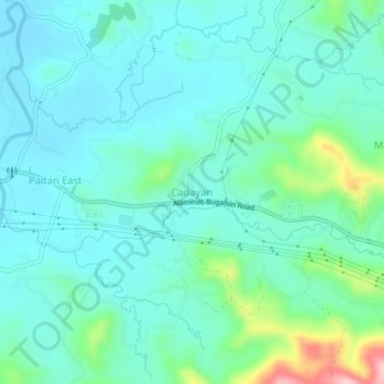
Name: Caoayan topographic map, elevation, terrain.

Location: Caoayan, Sual, Pangasinan, Ilocos Region, 2403, Philippines (16.06294 120.02802 16.10294 120.06802)

Average elevation: 207 ft

Minimum elevation: 75 ft

Maximum elevation: 751 ft

Gear up for your next adventure:

🪓Survival Multi‑Tool - Versatile tool for camp and trail tasks
🌡️Portable Weather Meter - Track weather conditions on the trail
👟Trail Running Shoes - Lightweight shoes for trail runners
📱Heavy-Duty Phone Cases - Drop-proof and waterproof protection for outdoor navigation
🌲Outdoor Survival Books - Best books on survival skills

As an Amazon Associate, this site earns from qualifying purchases at no extra cost to you.