Geolocate

Mamurdi topographic map

Click on the map to display elevation.

About this map

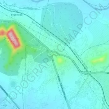
Name: Mamurdi topographic map, elevation, terrain.

Location: Mamurdi, Haveli, Pune District, Maharashtra, 412101, India (18.66524 73.70261 18.70524 73.74261)

Average elevation: 1,988 ft

Minimum elevation: 1,877 ft

Maximum elevation: 2,687 ft

Other topographic maps

Click on a map to view its topography, its elevation and its terrain.

Khadakwasla Dam

India > Maharashtra > Haveli > Khadakwasla

Average elevation: 1,932 ft

Nyati Evita Park

India > Maharashtra > Haveli

Average elevation: 1,998 ft

Gear up for your next adventure:

🪶Trail Camera - Capture wildlife on your hikes
🎁Geography Themed Gifts - Unique gift ideas for map lovers and geography enthusiasts
🌡️Portable Weather Meter - Track weather conditions on the trail
🛠️Outdoor Gear Repair Kit - Essential tools to fix gear on the trail
🥇GPS Hiking Watch - Multi‑sport GPS watch with navigation and trail tracking

As an Amazon Associate, this site earns from qualifying purchases at no extra cost to you.