
Make a donation
Gear up for your next adventure:
As an Amazon Associate, this site earns from qualifying purchases at no extra cost to you.
Markkleeberger See topographic map
Click on the map to display elevation.
Make a donation
Gear up for your next adventure:
As an Amazon Associate, this site earns from qualifying purchases at no extra cost to you.
Markkleeberger See
Der Seenverbund des Markkleeberger mit dem Störmthaler See über einen 800 Meter langen Kanal wurde am 18. Mai 2013 fertiggestellt. Hier entstand eine Schleuse mit vier Meter Hub, da die Seen unterschiedliche Wasserspiegelhöhen haben werden. Der Kanal besitzt eine Brücke mit einer Durchfahrtshöhe von 9,48 Metern, so dass auch Segelboote durchfahren können.
Make a donation
Gear up for your next adventure:
As an Amazon Associate, this site earns from qualifying purchases at no extra cost to you.
About this map
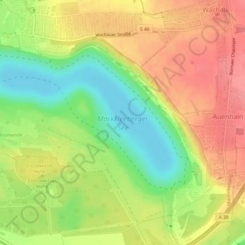
Name: Markkleeberger See topographic map, elevation, terrain.
Average elevation: 400 ft
Minimum elevation: 266 ft
Maximum elevation: 512 ft
Make a donation
Gear up for your next adventure:
As an Amazon Associate, this site earns from qualifying purchases at no extra cost to you.