
Ghatampur topographic map
Click on the map to display elevation.
About this map
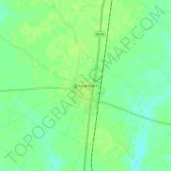
Name: Ghatampur topographic map, elevation, terrain.
Location: Ghatampur, Kanpur Nagar District, Uttar Pradesh, 209206, India (26.11512 80.12750 26.19512 80.20750)
Average elevation: 407 ft
Minimum elevation: 387 ft
Maximum elevation: 420 ft