Geolocate

Portugal topographic map

Click on the map to display elevation.

About this map

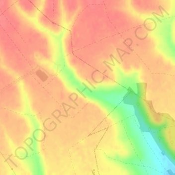
Name: Portugal topographic map, elevation, terrain.

Location: Portugal, San Justo de la Vega, León, Castile and León, Spain (42.48109 -5.98386 42.50109 -5.96386)

Average elevation: 3,048 ft

Minimum elevation: 2,900 ft

Maximum elevation: 3,107 ft

Gear up for your next adventure:

❄️Traction Cleats - Prevent slips on icy trails during winter hikes
🧤Tactile Hiking Gloves - Keep hands warm while operating GPS and smartphone screens
🪶Paracord Bracelet - Survival bracelet with built‑in tools
💧Water Filtration Bottles - Safely drink from streams and lakes while exploring
🖼️Topo Map Wall Art - Decorative topographic prints of famous peaks and regions

As an Amazon Associate, this site earns from qualifying purchases at no extra cost to you.