Geolocate

Jezerc topographic map

Click on the map to display elevation.

About this map

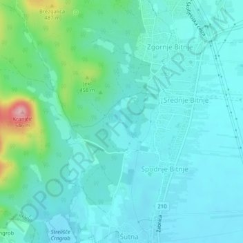
Name: Jezerc topographic map, elevation, terrain.

Location: Jezerc, Spodnje Bitnje, Kranj, Slovenia (46.21223 14.32605 46.21246 14.32663)

Average elevation: 1,302 ft

Minimum elevation: 1,207 ft

Maximum elevation: 1,745 ft

Gear up for your next adventure:

🎒Trekking Poles - Sturdy poles for balance and stability on rough terrain
📶Vehicle Signal Boosters - Improve reception in rural areas while driving to trailheads
🪶Multi‑Purpose Knife - Useful blade for camp and trail
Backpacking Tent - Lightweight and durable tent for multi‑day hikes
📶Satellite Messenger - Communication device off‑grid

As an Amazon Associate, this site earns from qualifying purchases at no extra cost to you.