Geolocate

Ijemo topographic map

Click on the map to display elevation.

About this map

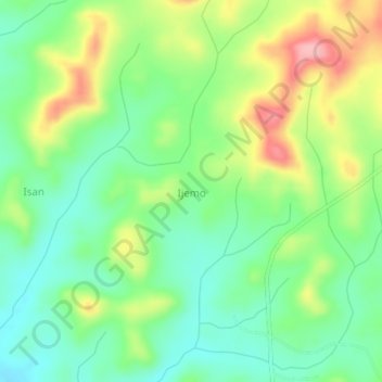
Name: Ijemo topographic map, elevation, terrain.

Location: Ijemo, Obafemi Owode, Ogun State, Nigeria (7.04667 3.54667 7.08667 3.58667)

Average elevation: 381 ft

Minimum elevation: 217 ft

Maximum elevation: 656 ft

Gear up for your next adventure:

🪶Trail Camera - Capture wildlife on your hikes
📱Heavy-Duty Phone Cases - Drop-proof and waterproof protection for outdoor navigation
🎒Waterproof Dry Bags - Keep your electronics and maps dry inside your pack
🥘Titanium Cookware - Durable, featherlight pots and pans for backpacking
🎁Geography Themed Gifts - Unique gift ideas for map lovers and geography enthusiasts

As an Amazon Associate, this site earns from qualifying purchases at no extra cost to you.