
Thank you for supporting this site ❤️
Make a donation
Make a donation
Gear up for your next adventure:
As an Amazon Associate, this site earns from qualifying purchases at no extra cost to you.
Tabatskuri topographic map
Click on the map to display elevation.
Thank you for supporting this site ❤️
Make a donation
Make a donation
Gear up for your next adventure:
As an Amazon Associate, this site earns from qualifying purchases at no extra cost to you.
About this map
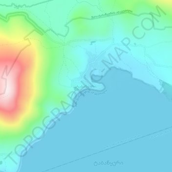
Name: Tabatskuri topographic map, elevation, terrain.
Location: Tabatskuri, Borjomi Municipality, Samtskhe-Javakheti, Georgia (41.64302 43.60081 41.68302 43.64081)
Average elevation: 6,818 ft
Minimum elevation: 6,519 ft
Maximum elevation: 8,173 ft
Thank you for supporting this site ❤️
Make a donation
Make a donation
Gear up for your next adventure:
As an Amazon Associate, this site earns from qualifying purchases at no extra cost to you.
Other topographic maps
Click on a map to view its topography, its elevation and its terrain.