
Thank you for supporting this site ❤️
Make a donation
Make a donation
Gear up for your next adventure:
As an Amazon Associate, this site earns from qualifying purchases at no extra cost to you.
Linge topographic map
Click on the map to display elevation.
Thank you for supporting this site ❤️
Make a donation
Make a donation
Gear up for your next adventure:
As an Amazon Associate, this site earns from qualifying purchases at no extra cost to you.
About this map
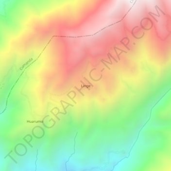
Name: Linge topographic map, elevation, terrain.
Location: Linge, Huigra, Alausí, Chimborazo, Ecuador (-2.29084 -79.06018 -2.25084 -79.02018)
Average elevation: 6,093 ft
Minimum elevation: 3,704 ft
Maximum elevation: 8,570 ft
Thank you for supporting this site ❤️
Make a donation
Make a donation
Gear up for your next adventure:
As an Amazon Associate, this site earns from qualifying purchases at no extra cost to you.