Geolocate

Emmeram topographic map

Click on the map to display elevation.

About this map

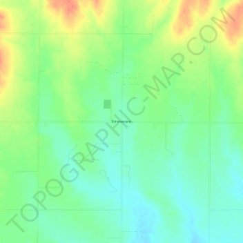
Name: Emmeram topographic map, elevation, terrain.

Location: Emmeram, Ellis County, Kansas, United States (38.93862 -99.15232 38.97862 -99.11232)

Average elevation: 2,031 ft

Minimum elevation: 1,969 ft

Maximum elevation: 2,123 ft

Ellis County trails, hiking, mountain biking, running and outdoor activities

Gear up for your next adventure:

💧Water Purification System - Clean water on the trail with reliable purifiers
🌐World Map Poster - Decorative world maps with topographic info
🩳Quick‑Dry Hiking Shorts - Comfortable and quick‑dry shorts for summer hiking
📦Gear Storage Bags - Organize and protect outdoor equipment
🪶Survival Guide Book - Expert advice for emergency preparedness

As an Amazon Associate, this site earns from qualifying purchases at no extra cost to you.