Geolocate

Jesenik topographic map

Click on the map to display elevation.

About this map

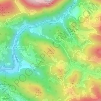
Name: Jesenik topographic map, elevation, terrain.

Location: Jesenik, Velenje, 3325, Slovenia (46.37555 15.15478 46.37565 15.15488)

Average elevation: 1,926 ft

Minimum elevation: 1,348 ft

Maximum elevation: 2,776 ft

Gear up for your next adventure:

🔌Solar Panel Charger - Charge gear sustainably outdoors
🧢Outdoor Hiking Hat - Sun protection hat for outdoor explorers
🥾Women's Hiking Boots - Top-rated trail boots with ankle support and superior grip
📱Solar Portable Charger - Solar power bank for charging devices off‑grid
🪄Magnetic Compass - Accurate compass for navigation

As an Amazon Associate, this site earns from qualifying purchases at no extra cost to you.