
麻郎错乡 topographic map
Interactive map
Click on the map to display elevation.
About this map
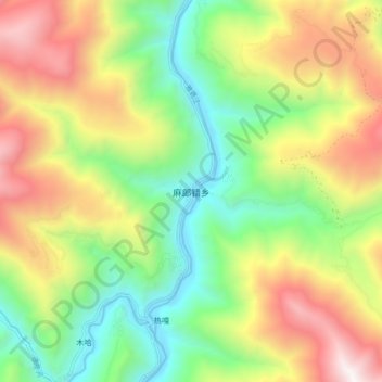
Name: 麻郎错乡 topographic map, elevation, terrain.
Location: 麻郎错乡, 雅江县, 甘孜藏族自治州, 四川省, 中国 (29.72714 101.05220 29.80714 101.13220)
Average elevation: 10,741 ft
Minimum elevation: 8,192 ft
Maximum elevation: 14,337 ft
Other topographic maps
Click on a map to view its topography, its elevation and its terrain.