
西俄洛镇 topographic map
Interactive map
Click on the map to display elevation.
About this map
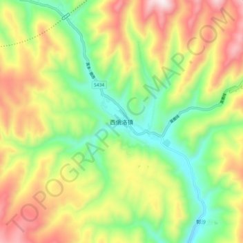
Name: 西俄洛镇 topographic map, elevation, terrain.
Location: 西俄洛镇, 雅江县, 甘孜藏族自治州, 四川省, 627400, 中国 (29.98219 100.67673 30.06219 100.75673)
Average elevation: 12,648 ft
Minimum elevation: 11,381 ft
Maximum elevation: 14,311 ft
Other topographic maps
Click on a map to view its topography, its elevation and its terrain.