Geolocate

Gepp topographic map

Click on the map to display elevation.

About this map

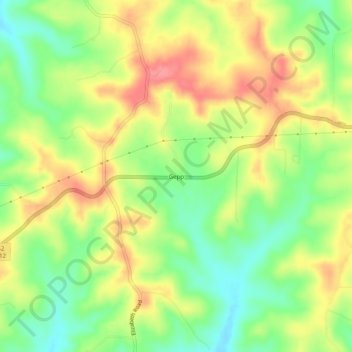
Name: Gepp topographic map, elevation, terrain.

Location: Gepp, Fulton County, Arkansas, 72538, United States (36.36784 -92.12432 36.40784 -92.08432)

Average elevation: 794 ft

Minimum elevation: 659 ft

Maximum elevation: 932 ft

Fulton County trails, hiking, mountain biking, running and outdoor activities

Gear up for your next adventure:

☀️Outdoor Sunscreen - High protection sunscreen for outdoor activities
📦Dry Bags Set - Waterproof storage for electronics and clothes
📱Solar Portable Charger - Solar power bank for charging devices off‑grid
🪶Trail Camera - Capture wildlife on your hikes
🗺️Topographic Maps - Detailed topo maps for hiking, exploring and outdoor navigation

As an Amazon Associate, this site earns from qualifying purchases at no extra cost to you.