Geolocate

Johnson topographic map

Click on the map to display elevation.

About this map

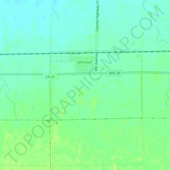
Name: Johnson topographic map, elevation, terrain.

Location: Johnson, Big Stone County, Minnesota, United States (45.56371 -96.30303 45.57492 -96.28204)

Average elevation: 1,135 ft

Minimum elevation: 1,112 ft

Maximum elevation: 1,155 ft

Big Stone County trails, hiking, mountain biking, running and outdoor activities

Gear up for your next adventure:

😴Insulated Sleeping Pads - Compact and warm pads for high-elevation camping
📱Solar Portable Charger - Solar power bank for charging devices off‑grid
🌡️Portable Weather Meter - Track weather conditions on the trail
📡Handheld GPS Device - Reliable handheld GPS for outdoor navigation
🥤Water Filter Bottle - All‑in‑one filter bottle for safe hydration

As an Amazon Associate, this site earns from qualifying purchases at no extra cost to you.