
Thank you for supporting this site ❤️
Make a donation
Make a donation
Gear up for your next adventure:
As an Amazon Associate, this site earns from qualifying purchases at no extra cost to you.
Miraun topographic map
Click on the map to display elevation.
Thank you for supporting this site ❤️
Make a donation
Make a donation
Gear up for your next adventure:
As an Amazon Associate, this site earns from qualifying purchases at no extra cost to you.
About this map
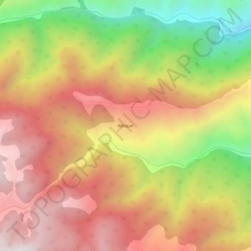
Name: Miraun topographic map, elevation, terrain.
Location: Miraun, Gandoh, Doda, Jammu and Kashmir, India (32.93904 75.85134 32.97904 75.89134)
Average elevation: 8,543 ft
Minimum elevation: 6,004 ft
Maximum elevation: 10,512 ft
Thank you for supporting this site ❤️
Make a donation
Make a donation
Gear up for your next adventure:
As an Amazon Associate, this site earns from qualifying purchases at no extra cost to you.