Geolocate

Kent topographic map

Click on the map to display elevation.

About this map

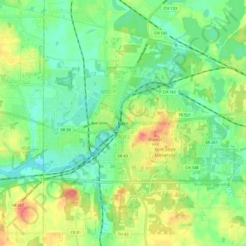
Name: Kent topographic map, elevation, terrain.

Location: Kent, Portage County, Ohio, 44240, United States (41.11367 -81.39789 41.19367 -81.31789)

Average elevation: 1,079 ft

Minimum elevation: 997 ft

Maximum elevation: 1,211 ft

Gear up for your next adventure:

🛌Ultralight Sleeping Bags - Compact down bags for cold nights in the wilderness
🥩Freeze-Dried Meals - Nutritious and lightweight food for remote expeditions
🌐World Map Poster - Decorative world maps with topographic info
🛰️Satellite Messengers - Emergency SOS and two-way messaging for off-grid adventures
🧢Outdoor Hiking Hat - Sun protection hat for outdoor explorers

As an Amazon Associate, this site earns from qualifying purchases at no extra cost to you.