Geolocate

Heidi topographic map

Click on the map to display elevation.

About this map

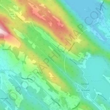
Name: Heidi topographic map, elevation, terrain.

Location: Heidi, Greve, Lonevåg, Osterøy, Vestland, 5281, Norway (60.50861 5.46027 60.52861 5.48027)

Average elevation: 344 ft

Minimum elevation: 0 ft

Maximum elevation: 1,093 ft

Gear up for your next adventure:

🕶️Glacier Sunglasses - Side shields to protect eyes from high-altitude snow glare
🔭Compact Binoculars - HD vision for scouting terrain and identifying distant landmarks
💧Water Filtration Bottles - Safely drink from streams and lakes while exploring
⛑️Personal Locator Beacon - Safety beacon for emergencies
🦶Carbon Trekking Poles - Reduce knee impact on steep descents with ultra-light poles

As an Amazon Associate, this site earns from qualifying purchases at no extra cost to you.