
Thank you for supporting this site ❤️
Make a donation
Make a donation
Gear up for your next adventure:
As an Amazon Associate, this site earns from qualifying purchases at no extra cost to you.
Trigais topographic map
Click on the map to display elevation.
Thank you for supporting this site ❤️
Make a donation
Make a donation
Gear up for your next adventure:
As an Amazon Associate, this site earns from qualifying purchases at no extra cost to you.
About this map
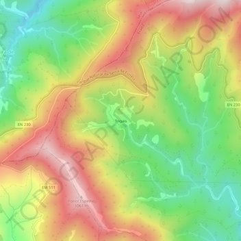
Name: Trigais topographic map, elevation, terrain.
Location: Trigais, Erada, Covilhã, Castelo Branco, 6285-052, Portugal (40.22271 -7.73531 40.26271 -7.69531)
Average elevation: 2,503 ft
Minimum elevation: 1,532 ft
Maximum elevation: 3,560 ft
Thank you for supporting this site ❤️
Make a donation
Make a donation
Gear up for your next adventure:
As an Amazon Associate, this site earns from qualifying purchases at no extra cost to you.