Geolocate

Peruru topographic map

Click on the map to display elevation.

About this map

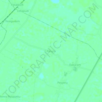
Name: Peruru topographic map, elevation, terrain.

Location: Peruru, Mudinepalle, Krishna, Andhra Pradesh, 521325, India (16.43272 81.08868 16.47272 81.12868)

Average elevation: 16 ft

Minimum elevation: 0 ft

Maximum elevation: 23 ft

Gear up for your next adventure:

🪶Paracord Bracelet - Survival bracelet with built‑in tools
🔋Solar Power Banks - Keep your GPS and phone charged in remote wilderness areas
🎁Geography Themed Gifts - Unique gift ideas for map lovers and geography enthusiasts
🔥Camping Stove - Portable stove for camping and backcountry cooking
🧤Hiking Gloves - Protective gloves for rugged trails

As an Amazon Associate, this site earns from qualifying purchases at no extra cost to you.