Geolocate

The Pyramids topographic map

Click on the map to display elevation.

About this map

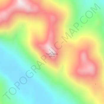
Name: The Pyramids topographic map, elevation, terrain.

Location: The Pyramids, Sitka, Alaska, United States (56.93995 -135.28364 56.94005 -135.28354)

Average elevation: 1,355 ft

Minimum elevation: 207 ft

Maximum elevation: 2,726 ft

Other topographic maps

Click on a map to view its topography, its elevation and its terrain.

Kruzof Island

United States > Alaska > Sitka

Average elevation: 289 ft

Nameless Island

United States > Alaska > Sitka

Average elevation: 0 ft

Road Island

United States > Alaska > Sitka

Average elevation: 92 ft

Gear up for your next adventure:

🔋Rechargeable Batteries - Power up your outdoor devices
🧣Hiking Neck Gaiter - Multi‑use neck protection for outdoor weather
🔋Solar Power Banks - Keep your GPS and phone charged in remote wilderness areas
🔭Compact Binoculars - HD vision for scouting terrain and identifying distant landmarks
🩳Quick‑Dry Hiking Shorts - Comfortable and quick‑dry shorts for summer hiking

As an Amazon Associate, this site earns from qualifying purchases at no extra cost to you.