Geolocate

Bennington topographic map

Click on the map to display elevation.

About this map
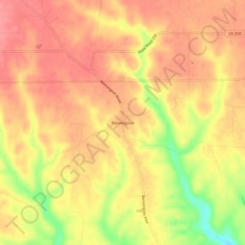
Name: Bennington topographic map, elevation, terrain.

Location: Bennington, Switzerland County, Indiana, United States (38.83895 -85.16051 38.87895 -85.12051)

Average elevation: 863 ft

Minimum elevation: 669 ft

Maximum elevation: 955 ft

Switzerland County trails, hiking, mountain biking, running and outdoor activities

Other topographic maps

Click on a map to view its topography, its elevation and its terrain.

Vevay

United States > Indiana > Switzerland County

Average elevation: 538 ft

Patriot

United States > Indiana > Switzerland County

Average elevation: 554 ft

Vevay

United States > Indiana > Switzerland County

Average elevation: 538 ft

Gear up for your next adventure:

🔦LED Headlamp - Bright and durable LED headlamp for night navigation
🧴Hand Sanitizer - Keep hands clean while hiking
🍳Camping Cook Set - Complete cookware for outdoor meals
🎁Geography Themed Gifts - Unique gift ideas for map lovers and geography enthusiasts
🧺Microfiber Travel Towels - Compact and fast-drying towels for trail use

As an Amazon Associate, this site earns from qualifying purchases at no extra cost to you.