
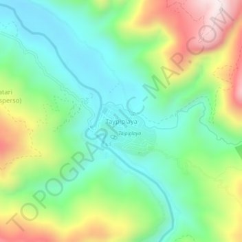
Taypiplaya topographic map
Interactive map
Click on the map to display elevation.
About this map
Name: Taypiplaya topographic map, elevation, terrain.
Location: Taypiplaya, Caranavi, La Paz, Bolivia (-15.95854 -67.49655 -15.91854 -67.45655)
Average elevation: 3,310 ft
Minimum elevation: 2,470 ft
Maximum elevation: 4,902 ft
Other topographic maps
Click on a map to view its topography, its elevation and its terrain.