
龙泉土家族乡 topographic map
Interactive map
Click on the map to display elevation.
About this map
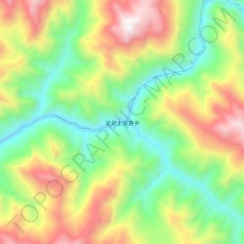
Name: 龙泉土家族乡 topographic map, elevation, terrain.
Location: 龙泉土家族乡, 宣汉县, 达州市, 四川省, 中国 (31.68556 108.35760 31.76556 108.43760)
Average elevation: 3,796 ft
Minimum elevation: 1,647 ft
Maximum elevation: 6,965 ft
Other topographic maps
Click on a map to view its topography, its elevation and its terrain.