Geolocate

Kettermuit topographic map

Click on the map to display elevation.

About this map
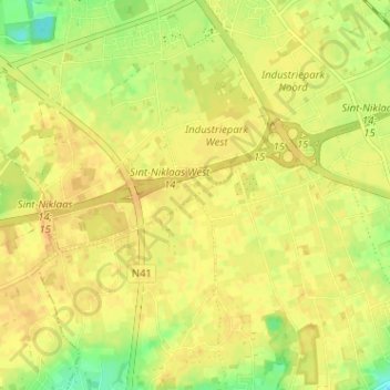
Name: Kettermuit topographic map, elevation, terrain.

Location: Kettermuit, Sint-Niklaas, Oost-Vlaanderen, 9100, België (51.11539 4.13398 51.15539 4.17398)

Average elevation: 82 ft

Minimum elevation: 20 ft

Maximum elevation: 105 ft

Other topographic maps

Click on a map to view its topography, its elevation and its terrain.

Nieuwkerken-Waas

België > Oost-Vlaanderen > Sint-Niklaas > Sint-Niklaas

Nieuwkerken-Waas ligt in Zandig Vlaanderen en het Waasland, op een hoogte van ongeveer 10 meter. Een waterloop is de Gardebeek. Ten zuidoosten vindt men het Provinciaal Domein De Ster met een vijver en bossen.

Average elevation: 36 ft

Belsele

België > Oost-Vlaanderen > Sint-Niklaas > Sint-Niklaas

Average elevation: 43 ft

9111

België > Oost-Vlaanderen > Sint-Niklaas > Sint-Niklaas > Belsele > Kuil

Average elevation: 43 ft

Gear up for your next adventure:

🎒Trekking Poles - Sturdy poles for balance and stability on rough terrain
🛏️Cold Weather Sleeping Bag - Warm sleeping bag for cold conditions
🦶Carbon Trekking Poles - Reduce knee impact on steep descents with ultra-light poles
🔥Fast-Boil Camping Stoves - Efficient cooking systems for quick trail meals
🖼️Topo Map Wall Art - Decorative topographic prints of famous peaks and regions

As an Amazon Associate, this site earns from qualifying purchases at no extra cost to you.